By: Richard L. Smith
Newark and the surrounding North Jersey region are bracing for a significant weather event as heavy rain, thunder, and lightning are forecasted to sweep through the area.

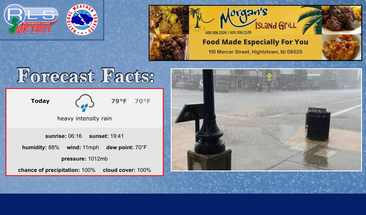
Residents are advised to prepare for a potentially rocky morning commute as the ugly precipitation is expected to hit around 7 a.m.
According to The National Weather Service, conditions are ripe for the approaching rain, with humidity at 84% and a south wind blowing at 7 mph.
The National Weather Service (NWS) warns of showers and the possibility of thunderstorms before 11 a.m., with the potential for these conditions to persist between 11 a.m. and 2 p.m.
Some of these storms might bring heavy rain, adding to the challenges of the day. The temperature is anticipated to reach around 79 degrees, accompanied by a south wind blowing at 11 to 14 mph.
NWS meteorologists say the chance of precipitation is high, standing at 90%. New rainfall amounts between half an inch and three-quarters of an inch, which could contribute to potentially wet and slippery road conditions.
In addition to the local weather situation, meteorologists from the NWS are closely monitoring Hurricane Franklin in the Atlantic Ocean.
Although the hurricane is not predicted to make landfall, its presence is expected to cause rip tides along the East Coast beaches. Residents and beachgoers are advised to exercise caution and stay informed about any Hurricane Franklin's trajectory updates.
Commuters are urged to plan their journeys accordingly to ensure safety and minimize disruptions.
Residents are advised to stay updated with weather alerts on RLS Media by clicking HERE 24 hours a day.